Lakes > Kochelsee
Object description:

Kochelsee
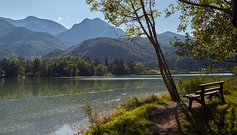
The steep Kochel Mountains are grouped in a semicircle round the Kochelsee on the edge of the Upper Bavarian Alps. The lake has an area of around six square kilometres and is up to 66 metres deep. There are numerous hiking trails through the beautiful countryside around its shores. From the Altjoch there is a level path following the lake shore to Schlehdorf, which is dominated by a massive church with a neoclassical interior belonging to the former Augustinian monastery. From the nearby summits there are views of the lake and surrounding mountains. Many artists have been attracted to the Kochelsee, among them Franz Marc, who settled in Kochel at the beginning of the 20th century. Today there is a museum showing his work and personal documents of the artist and his circle.
No buoy moorings are allocated here. Boats with combustion engines or electric motors are not permitted.
For further details please see our general information on the lakes.
How to get there
The Kochelsee is approximately 65 km south of Munich and can be reached via the A95 motorway from Munich to Garmisch.
Kochel am See
www.bahn.com
Further information
There is a connecting boat service from May until the middle of October.
Information:
Motorschiffahrt Kochelsee GbR
www.motorschiffahrt-kochelsee.de
Path along the southern shore ("Felsenweg") from Altjoch to Schlehdorf (open-air museum Glentleiten) and paths along the Loisach to Brunnenbach
Responsible administrative office
Bayer. Schlösserverwaltung/
Außenstelle Starnberger See
Nepomukweg 4
82319 Starnberg
08151 550730-0
Fax 08151 550730-9
seeverwaltung. starnbergersee@ bsv.bayern.de

Facebook Instagram YouTube